
Places to Go in Nepal Kathmandu – Top Cultural & Scenic Spots
17 Feb 2026
Discover the Heart of NepalIf you're searching for the best places to go in Nepal Kathmandu, you've chosen one of Asia's most captivating destinations...

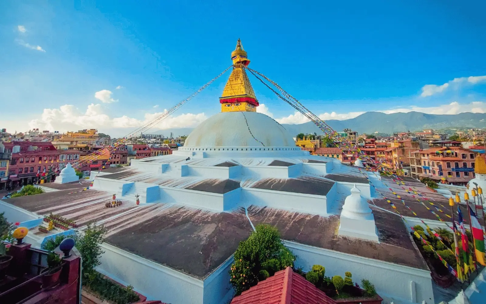

Kathmandu is the capital and largest city of Nepal, located in the country's centre at 27.7172° N, 85.3240° E. It sits at an elevation of 1,400 meters (4,600 feet) in the bowl-shaped Kathmandu Valley — a lake bed 10,000 years ago, now the political, cultural and commercial heart of Nepal, ringed by four green hills in the mid-hill zone of the Himalayan foothills.
The city is in Nepal, not India — though the two countries share a long open border along Nepal's south, and Indian tourists cross into Kathmandu freely. Politically, Kathmandu sits in Bagmati Province, within Kathmandu District, roughly 160 km west of Mount Everest and 200 km east of Pokhara.
Key Takeaways
| Detail | Information |
|---|---|
| Country | Nepal |
| Province | Bagmati |
| District | Kathmandu |
| Coordinates | 27.7172° N, 85.3240° E |
| Elevation | 1,400 m (4,600 ft) |
| City population (2021) | 845,767 |
| Metro area population | ~4 million |
| Time zone | NPT (UTC +5:45) |
| Founded | 723 AD (traditional date) |
| Area (city) | 49.45 km² |
| Main rivers | Bagmati, Bishnumati |
| International airport | Tribhuvan International (KTM) |
| Distance from Mount Everest | ~160 km (100 mi) |
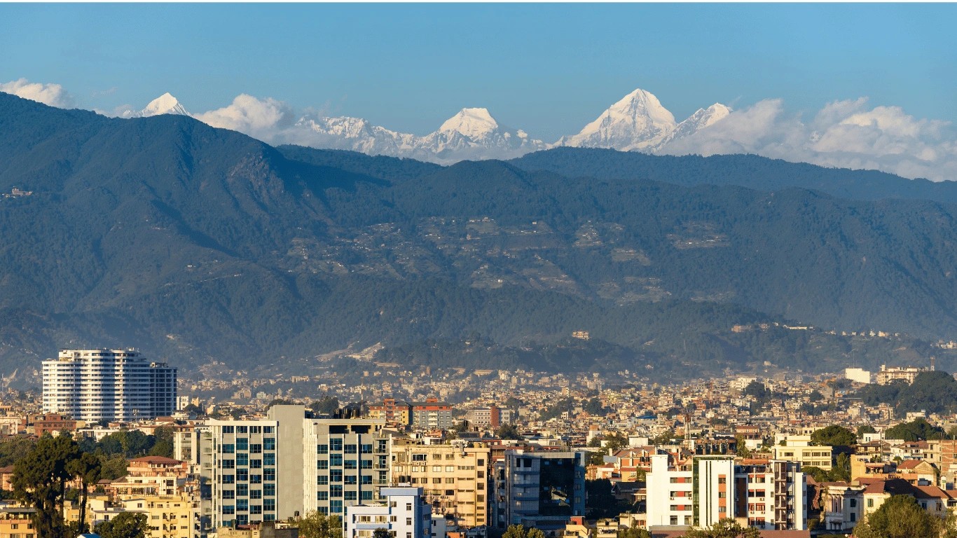
Kathmandu is in central Nepal, sitting inside a natural bowl-shaped valley in the foothills of the Himalayas.
The city occupies about 50 square kilometers of the Kathmandu Valley floor, at an elevation of roughly 1,400 meters above sea level. The valley itself is about 30 kilometers long east-to-west and 25 kilometers wide north-to-south, ringed on all sides by hills that rise from around 2,000 meters to nearly 2,800 meters. From Kathmandu, the massive snow peaks of the greater Himalaya are further north — visible on a clear morning from higher points around the city, but not the city floor itself.
Everything else in this guide is context for that single geographical fact.
Kathmandu is in Nepal.
This question gets asked genuinely often, and it's worth answering directly, because Nepal and India share a 1,750-kilometer open border and enough cultural, religious and linguistic overlap that outsiders sometimes assume Kathmandu is Indian.
It isn't. Nepal is a fully independent country, has been since 1768 when Prithvi Narayan Shah unified the various small kingdoms of the region, and Kathmandu has been its capital ever since. Nepal has its own currency (the Nepali rupee), its own passport, its own flag (the only non-rectangular national flag in the world), its own Prime Minister and government, and its own dominant language (Nepali, written in Devanagari script).
Nepal's neighbours:
Kathmandu itself sits closer to the Tibetan border than to the Indian one — roughly 115 kilometers from the Chinese border to the north, and about 200 kilometers from the Indian border to the south. You are geographically much closer to Lhasa than most people assume.
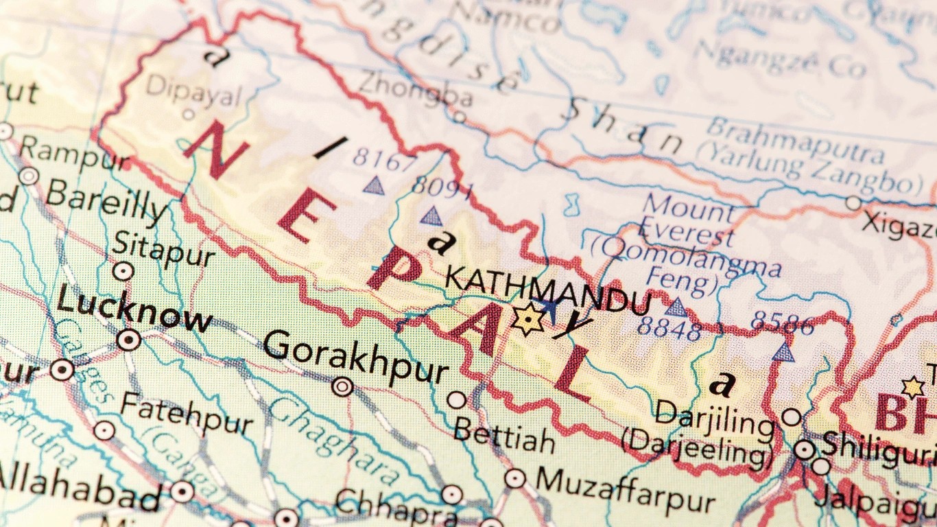
Kathmandu's exact geographic coordinates are:
Or in degrees-minutes-seconds: 27°42′36″ N, 85°19′12″ E.
On a world map, look for South Asia. Then find the small country wedged between India and China — that's Nepal. Kathmandu sits roughly at the country's centre, slightly to the east. If you drew a line from New Delhi east to Bhutan, Kathmandu would sit almost exactly on the midpoint of that line, but a little north of it, in the hills.
On a South Asia regional map:
The city sits between the flat Terai plains of southern Nepal and the high Himalayan crest to the north — placing it at that curious middle altitude where lowland South Asian climate begins to give way to high-mountain Nepal.
Nepal is divided administratively into seven provinces. Kathmandu sits in Bagmati Province — the province named after the sacred river that flows through the city.
Below the province level, Nepal is divided into districts. Kathmandu city sits within Kathmandu District (the district shares its name with the city). Kathmandu District is one of three districts that make up the wider Kathmandu Valley:
Together, these three districts contain nearly one-twelfth of Nepal's total population and are the densest urban region in the country.
Kathmandu District itself borders:
For a country with such dramatic geography — running from the Terai plains at 60 meters to Everest at 8,848 meters — Kathmandu's district is compact and unusually flat by Nepali standards, because it fills the ancient lake floor of the Valley.
Kathmandu city and its surroundings occupy the Kathmandu Valley — one of the most geographically distinctive urban settings in Asia. The valley is essentially a giant, roughly circular bowl carved into the Himalayan foothills.
Four hills form the valley's rim, and every trekker, pilgrim and daytripper eventually gets to know their names:
| Hill | Height | Direction from city |
|---|---|---|
| Shivapuri | 2,732 m | North |
| Phulchoki | 2,795 m | Southeast |
| Nagarjun (Jamacho) | 2,825 m | West |
| Chandragiri | 2,551 m | Southwest |
These four hills historically served as the four trade passes into the valley — before roads existed, all goods entering Kathmandu came through Chandragiri or one of the other hill passes. Today the same hills host national park land (Shivapuri Nagarjun National Park), day-hiking trails, meditation retreats, and — on Chandragiri — a modern cable car that gets tourists from the valley floor to a panoramic viewpoint in about ten minutes.
The valley itself has an ancient story: around 10,000 years ago it was a lake. Geological and fossil evidence (including ancient hippo and crocodile remains) confirms this. Buddhist tradition tells the same story mythologically — the Bodhisattva Manjushri cut a gorge at Chovar with his sword, draining the lake and revealing the fertile valley floor. To this day, Chovar remains the only outlet for all the valley's rivers, which flow together into the Bagmati and eventually south into the Ganges.
Two rivers thread through Kathmandu itself: the Bagmati (sacred to Hindus, the river the province is named after) and its tributary the Bishnumati. Both are considerably smaller and more polluted than they were even 50 years ago, but they still shape the city's neighbourhoods, mark the boundaries between historic quarters, and hold the funeral ghats of Pashupatinath.
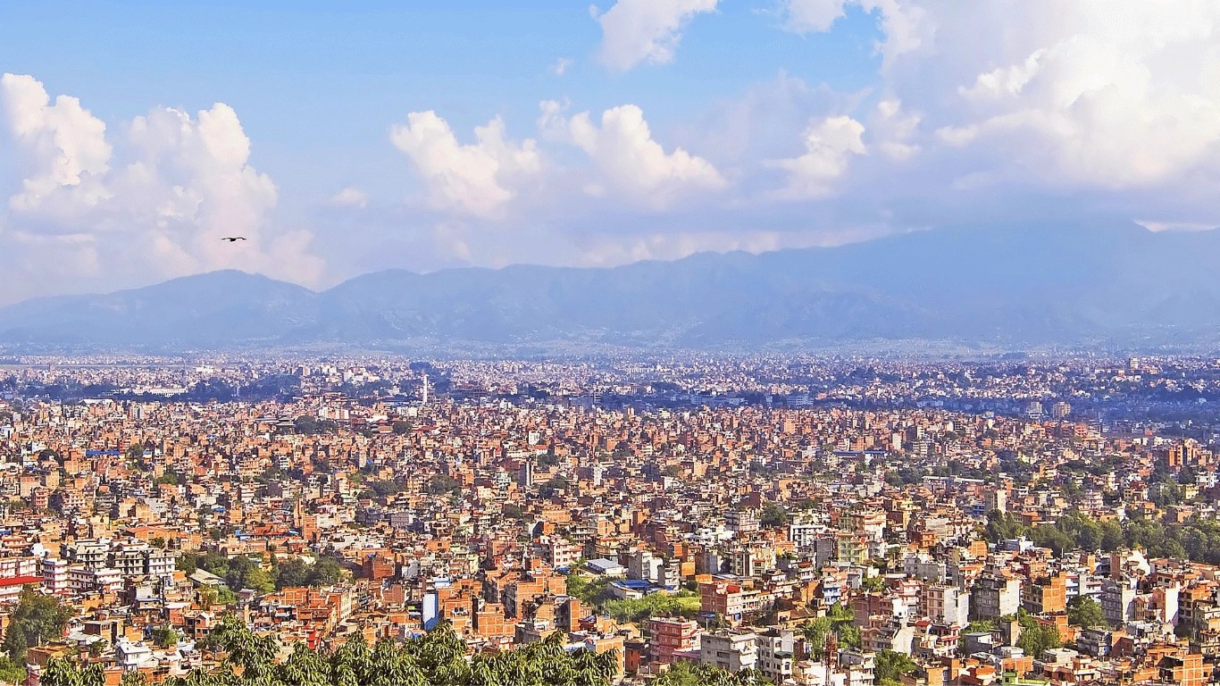
Kathmandu's elevation is 1,400 meters (4,600 feet) above sea level.
You'll see different figures cited on different websites — 1,300 m, 1,324 m, 1,360 m, 1,400 m — and all are technically accurate for different reference points across the city, which stretches over uneven terrain. Wikipedia lists 1,324 m for the city's official reference point; Britannica says 1,324 m (4,344 ft); topographic maps average 1,400 m (4,600 ft). For a searchable, useful answer, 1,400m is the figure to remember.
What this elevation means practically:
The surrounding terrain — hills rising to 2,700+ meters within 10 kilometers of the city — creates the characteristic bowl view: from any high point in the city you look up at forested ridges in every direction.
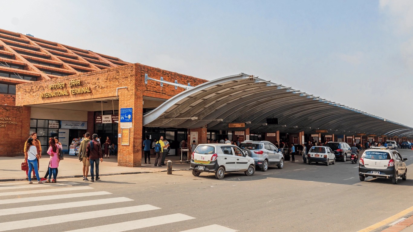
Nepal's only international airport, Tribhuvan International Airport (TIA), sits in the eastern part of Kathmandu city, about 6 kilometers east of Thamel and central Kathmandu.
Practical airport-to-city notes:
Domestic flights to Lukla (for Everest Base Camp), Pokhara (for Annapurna), and other trekking gateways also depart from Tribhuvan.
Kathmandu is a city of neighbourhoods, and understanding where its landmarks sit relative to each other helps you plan any trip.
Kathmandu is approximately 160 kilometers (100 miles) west of Mount Everest in a straight line.
You cannot see Everest from Kathmandu. The city's low altitude (1,400 m) and the intervening ridges of the middle Himalaya block any direct line of sight. What you can see from higher points around Kathmandu (Nagarkot, Chandragiri, Swayambhunath) on a clear morning are the more accessible Himalayan peaks — Langtang, Ganesh Himal, and sometimes further peaks. Everest itself hides behind closer mountains.
Reaching Everest from Kathmandu takes days, not hours. The standard route:
For anyone specifically wanting to see Everest without a full trek, mountain flights from Kathmandu offer roughly one-hour scenic flights that fly close enough to Everest for excellent views. These leave from Tribhuvan International Airport, run early in the morning (best visibility), and cost around USD 200-250 per person.
Kathmandu is accessible internationally by air, and from India by both air and land.
Visa on arrival: Most nationalities can obtain a visa on arrival at Kathmandu airport for USD 30 (15 days), USD 50 (30 days), or USD 125 (90 days). Indian nationals do not require a visa.
Some final numbers to complete the picture:
Kathmandu is the capital city of Nepal, in central Nepal, at 1,400 m elevation in the Kathmandu Valley. Coordinates: 27.7172° N, 85.3240° E.
Kathmandu is in Nepal — a landlocked country between India and Tibet (China). Nepal is fully independent and not part of India, though the two share a long open border.
Kathmandu sits in South Asia, between India (to the south, east, and west) and Tibet/China (to the north). On a South Asia regional map, it's roughly on a line between Delhi and Bhutan, but pushed north into the Himalayan foothills.
Kathmandu is in Bagmati Province, in Kathmandu District, in central Nepal.
Kathmandu sits at approximately 1,400 metres (4,600 feet) above sea level. Different sources cite between 1,300 m and 1,400 m depending on the reference point.
No. Kathmandu is the capital of Nepal — an independent country. India is Nepal's southern neighbour, but they are separate nations with different governments, currencies, and passports.
Tribhuvan International Airport (KTM) sits in the eastern part of Kathmandu city, about 6 km east of Thamel and central Kathmandu. It is Nepal's only international airport.
Thamel is in central Kathmandu, about 2 km north of Durbar Square. It's the main tourist district — most international trekkers stay here on arrival and departure.
Kathmandu Durbar Square is in the old city centre, about 15 minutes on foot south of Thamel. It's a UNESCO World Heritage Site and the historic royal square of the Malla-era kings.
Roughly 160 km (100 miles) in a straight line. You cannot see Everest from Kathmandu, but scenic mountain flights from Kathmandu offer one-hour views of Everest and the surrounding peaks.
The Kathmandu Valley is the bowl-shaped valley in which Kathmandu sits. About 30 km east-to-west and 25 km north-to-south, ringed by four hills, home to three districts (Kathmandu, Lalitpur, Bhaktapur) and roughly 4 million people.
Tokha is a semi-rural neighbourhood in northern Kathmandu, about 8-10 km north of the city centre, at the foot of Shivapuri hill.
The Kumari — Nepal's living goddess — resides at the Kumari Ghar, a traditional Newari residence on the south side of Kathmandu Durbar Square. Public viewing is limited to specific times when she appears at her window.
Kathmandu Metropolitan City has approximately 845,000 residents (2021 census). The wider metropolitan area, including Lalitpur, Bhaktapur, and surrounding towns, holds about 4 million people.
Kathmandu is not just a location on a map. It is the gateway to everything else Nepal offers — the Everest region, the Annapurna region, the ancient Buddhist heritage of Lumbini, the Terai jungles, the Tibetan plateau.
Almost every trekker who comes to Nepal begins and ends in Kathmandu. Almost every pilgrim, mountaineer, and long-term traveller in the region passes through. The city is small by South Asian megacity standards — you can walk from Thamel to Durbar Square in fifteen minutes — but it packs seven UNESCO World Heritage Sites, thousands of temples, and a living cultural depth that most cities its size don't come close to.
That's where Kathmandu is, and that's what being in Kathmandu actually means.
→ Everest Base Camp Trek — from Kathmandu to 5,364m in 14 days
→ Top 9 Annapurna Region Treks — the trek menu
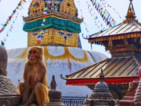
Discover the Heart of NepalIf you're searching for the best places to go in Nepal Kathmandu, you've chosen one of Asia's most captivating destinations...
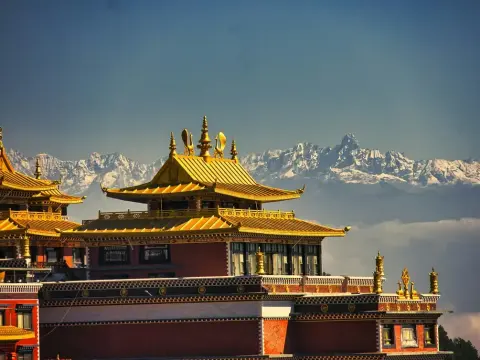
Namo Buddha stands as one of the most revered Buddhist pilgrimage sites in Nepal, drawing devotees and travelers from across the world to its serene h...
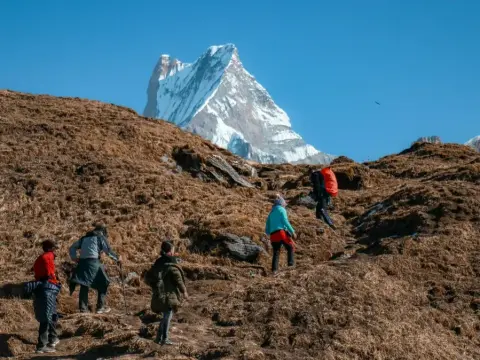
The Best Nepal treks from Kathmandu represent some of the most spectacular mountain journeys on Earth, all accessible from Nepal's vibrant capital cit...
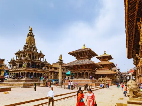
A Nepal Kathmandu Pokhara tour represents the quintessential introduction to this Himalayan nation, combining ancient cultural heritage with breathtak...
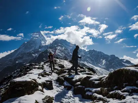
Planning your Mardi Himal Trek itinerary starts with understanding the complete journey from Kathmandu. International travelers arrive at Tribhuvan In...
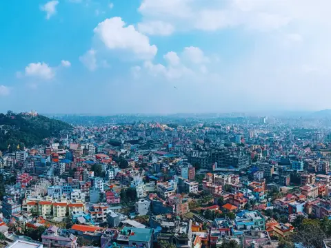
Kathmandu sits at an official elevation of 1,324 meters (4,344 feet) above sea level. The broader Kathmandu Valley averages around 1,400 meters. Altit...
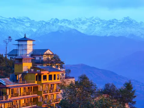
Nagarkot is a hilltop village in Bhaktapur District, 32 km east of Kathmandu, sitting at an elevation of 2,175 m above sea level. It is one of Nepal's...
