
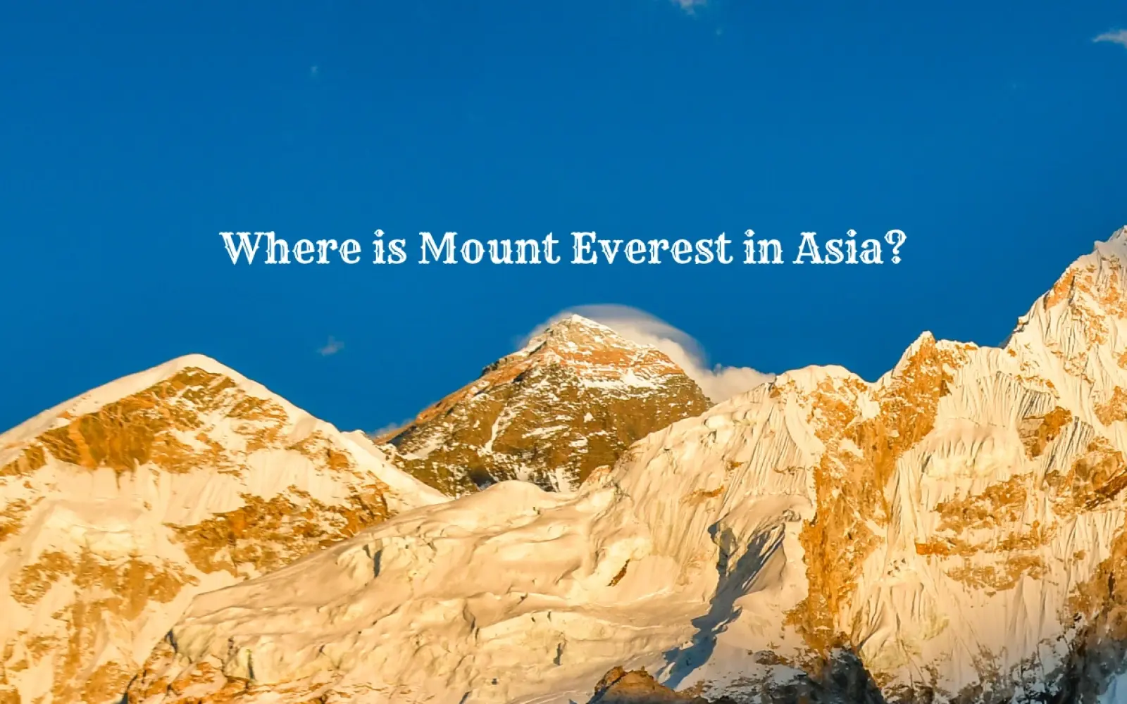
Does Mount Everest Belong to Nepal or China? The Complete 2026 Answer
4 May 2026
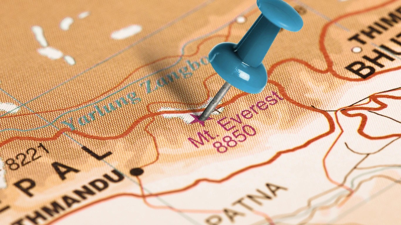
Mount Everest belongs to both Nepal and China, as the international boundary line runs directly across its summit point. The southern slope of the mou...

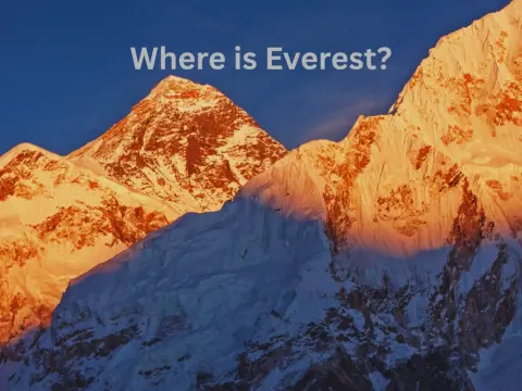
Mount Everest sits on the border between Nepal and the Tibet Autonomous Region of China, deep within the eastern Himalayas of South Asia. It is the highest point on Earth, towering above every other mountain on the planet — a geographical fact that has made it one of the most recognized landmarks in the world.
| Feature | Details |
| Elevation | 8,848.86 m (29,031.7 ft) above sea level |
| Location | Border of Nepal and the Tibet Autonomous Region, China |
| Countries | Nepal (south face) and China/Tibet (north face) |
| Mountain Range | Mahalangur Himal sub-range, Himalayas |
| Coordinates | 27°59′17″N, 86°55′31″E |
| Nepalese Name | Sagarmatha ("Forehead of the Sky") |
| Tibetan Name | Chomolungma ("Goddess Mother of the World") |
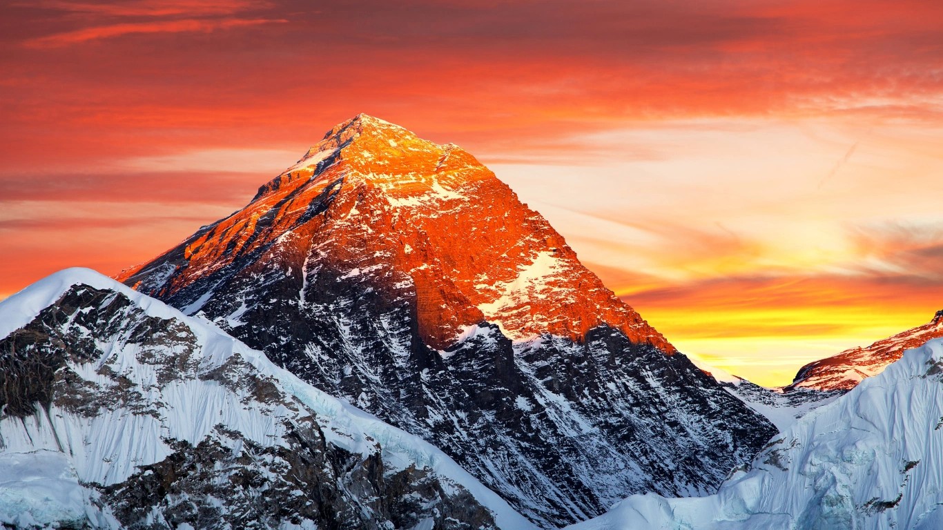
Mount Everest is the tallest mountain on Earth measured from sea level. It forms the central landmark of the Greater Himalayas and serves as the defining ambition of high-altitude mountaineering. Every year, thousands of trekkers make their way to Everest Base Camp, while hundreds of climbers attempt the summit itself.
The mountain was not formally identified as the world's highest peak until 1852, when the Survey of India confirmed this through trigonometric measurements. Before that, it was catalogued simply as "Peak XV." In 1865, it was officially renamed after Sir George Everest, the British Surveyor General of India who oversaw much of the region's mapping during the early 19th century.
Its current official elevation — 8,848.86 meters — was jointly confirmed by Nepal and China in 2026 after a new survey using GPS and gravity measurement technology.
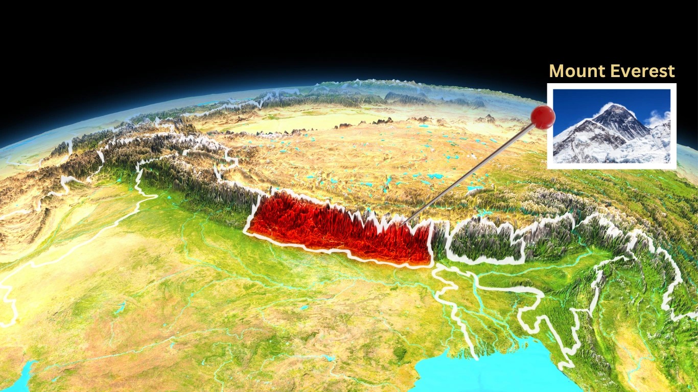
Mount Everest is located in the southern part of Asia, within the Himalayan mountain system that runs along the northern edge of the Indian subcontinent. Asia is by far the largest continent on Earth, and the Himalayas form one of its most dramatic features — a 2,400-kilometer arc of peaks separating the South Asian lowlands from the Tibetan Plateau.
Within this vast range, Everest occupies the eastern section, positioned near the bend where the Himalayas curve southward toward Myanmar. It straddles an international boundary, with Nepal to its south and the Tibet Autonomous Region of China to its north.
Geographically, the mountain belongs to South Asia when approaching from the Nepali side, and to Central/East Asia when viewed from the Tibetan Plateau side. Most geographers and institutions classify it under the broader Asian continent.
Key neighboring countries and their proximity to Everest:
Everest belongs to both. The international border runs directly across the summit, meaning the peak is shared between Nepal and China's Tibet Autonomous Region. Neither country owns it exclusively.
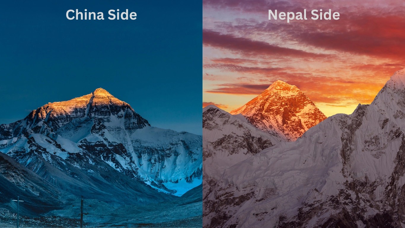
Here is how the two sides differ:
| Feature | Nepal (South) | China/Tibet (North) |
| Face | Southern Face | Northern Face |
| Administrative area | Solukhumbu District, Sagarmatha National Park | Tingri County, Xigazê Prefecture |
| Base Camp elevation | ~5,364 m (17,598 ft) | ~5,150 m (16,900 ft) |
| Access | Flight to Lukla + multi-day trek | Road access from Lhasa |
| Popular route | South Col Route | North Ridge Route |
| Primary visitors | Trekkers and climbers worldwide | Drive-in visitors and Chinese expeditions |
The Nepali side sees significantly more international traffic because of its well-developed trekking infrastructure, the presence of the Sherpa community in the Khumbu Valley, and easier access routes.
Everest is part of the Mahalangur Himal, a specific sub-range within the larger Himalayan system. This sub-range sits in the eastern Himalayas and is roughly 80 kilometers long.
The Mahalangur Himal is remarkable not just for Everest — it contains four of the world's fourteen eight-thousanders (peaks above 8,000 meters):
The broader Himalayan system stretches across five countries — Nepal, China, India, Bhutan, and Pakistan — and includes over 50 peaks above 7,200 meters. The range began forming roughly 25 to 30 million years ago when the Indian tectonic plate collided with the Eurasian plate, and the mountains are still rising slowly today.
When looking at a map of Asia, Everest appears in the south-central region of the continent, near the bend in the Himalayan arc. It sits:
The Khumbu region of Nepal, on the mountain's southern approach, is flanked by deep river valleys carved by glacial meltwater. The Tibetan side opens onto the high, flat plateau — one of the most elevated plateaus on Earth, averaging over 4,500 meters.
The summit of Mount Everest is located at precisely:
27°59′17″ N, 86°55′31″ E
In decimal form: 27.9881° N, 86.9250° E
These coordinates place the peak in the eastern Himalayas, very close to the Nepal-China border. If you enter these coordinates into any mapping application, you can locate the exact summit position.
The South Base Camp in Nepal sits at approximately 28°0′26″N, 86°51′34″E, at an elevation of around 5,364 meters. The North Base Camp in Tibet is situated at roughly 5,150 meters elevation.
On the Nepali side, Mount Everest falls within Solukhumbu District, part of Koshi Province in northeastern Nepal. More specifically, the mountain and its surrounding landscape are protected within Sagarmatha National Park.
The park is named after Sagarmatha — the Nepali name for Everest — and protects not only the mountain itself but also a complex ecosystem that includes snow leopards, red pandas, musk deer, over 100 bird species, and the distinct culture of the Sherpa people who have lived in the Khumbu Valley for generations.
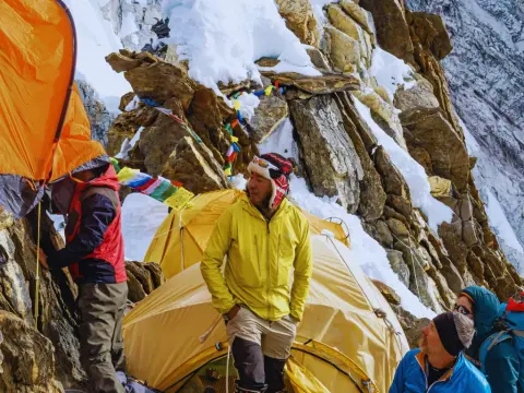
The Khumbu region is the heart of Nepali Everest culture. Villages like Namche Bazaar, Tengboche, and Dingboche serve as way stations for trekkers and climbers working their way toward Base Camp.
Kathmandu, Nepal's capital, lies approximately 135 kilometers southeast of Everest as the crow flies. However, because of the rugged mountain terrain, reaching the mountain is not a simple drive.
Despite the relatively short straight-line distance, the altitude gain is enormous. Kathmandu sits at around 1,400 meters; Base Camp is at 5,364 meters; the summit is nearly three times higher still.
Mount Everest carries global fame for several interconnected reasons — geography, history, human achievement, and cultural significance all play a role.
Mount Everest is located in the Himalayas on the Nepal-Tibet border, at the crossroads of geography, culture, and human ambition. It holds its place not just as the tallest point on Earth, but as a landmark that has shaped how we understand exploration, endurance, and the natural world.
From the Sherpa villages of the Khumbu Valley to the windswept ridges of the Tibetan Plateau, the mountain draws people from every corner of the globe — trekkers, climbers, researchers, and curious travelers who simply want to stand within sight of the highest place on the planet.
Understanding where Everest sits in Asia also means understanding the broader landscape it belongs to: a living, geologically active mountain range that has defined civilizations, influenced monsoon patterns across the subcontinent, and inspired countless generations.
Whether you plan to trek to Everest Base Camp, study it from a classroom, or simply satisfy your curiosity, Everest rewards attention. Few places on Earth carry this much weight — literally and otherwise.
Mount Everest is shared between two countries in Asia — Nepal and China (Tibet Autonomous Region)
Mount Everest belongs to both China and Nepal.
Mount Everest partially belongs to Nepal, but not entirely. The mountain is shared between Nepal and China, with the international border running directly across the summit.
Everest is in China, but only partially. It sits on the China-Nepal border and has been a shared mountain throughout recorded history.
The name "Everest" has no geographical or cultural meaning. It is simply the surname of Sir George Everest, a British surveyor who served as Surveyor General of India.
Kathmandu is the closest major city to Mount Everest in Nepal, situated approximately 135 kilometers southwest of the mountain.
Mount Everest belongs to both Nepal and China, as the international boundary line runs directly across its summit point. The southern slope of the mou...
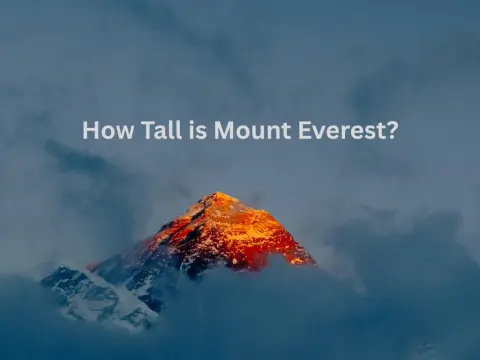
Mount Everest is 8,848.86 meters tall. That is 29,031.7 feet, or roughly 5.5 miles straight up from the ocean's average surface. Nepal and China joint...
Everest and the Sherpa people have been associated for the past 73 years. Years before the first Everest summit, the Sherpa people had already made th...
